")
")
NB! Maps will be issued to participants 1 hour before the start.
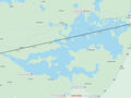
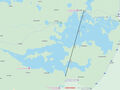
Approximate distances on lake (overall distance could be up to 40 km)
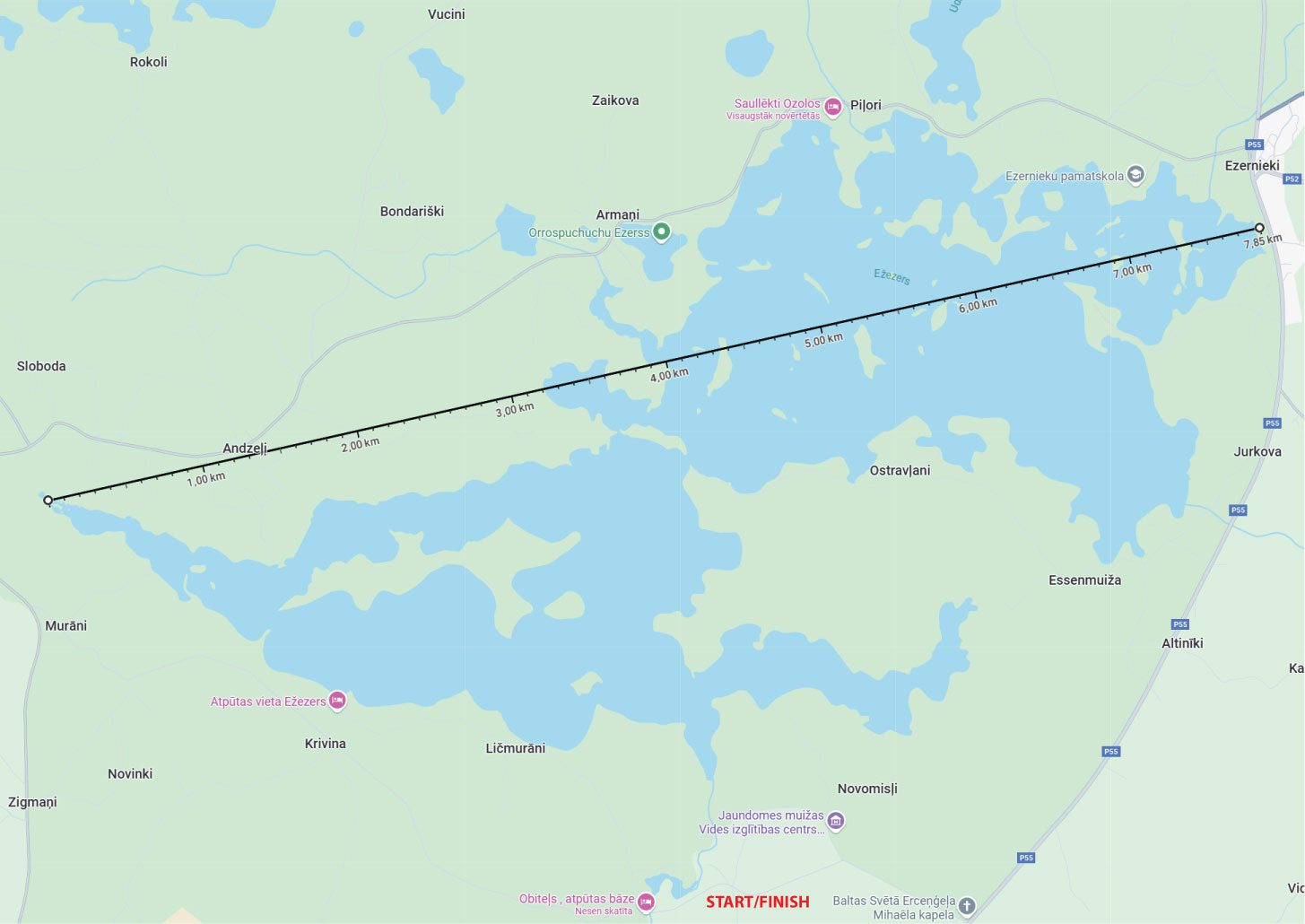
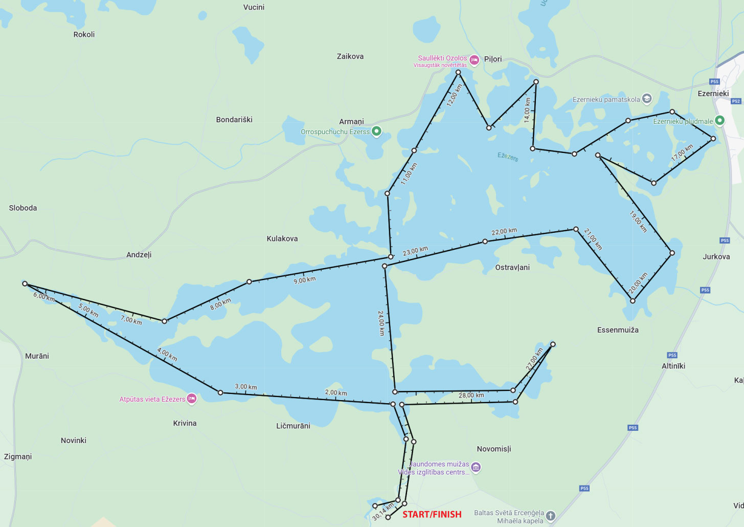
- Map scale will be 1:20000 (5cm on map is 1 km in nature)
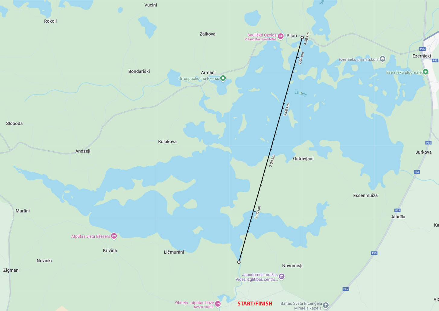
- From start point to lake there is approximately 1km narrow river. Also count in your timing on river when returning to finish.
- Please be nice and professional to each other and let the faster boats in front of you.
- Each minute over finishing time (18:00) will cost you -1 point.
- On map will be grid, each quadrant is 1 x 1 km
- For planning please take your own permanent marker. Maps are laminated and waterproof.
Map legend
| 20 |
Island W cape
|
| 21 |
Bay NE side
|
| 22 |
Island bay E side, near dead birch tree
|
| 30 |
Between islands, near small island
|
| 31 |
Bay S side
|
| 32 | Cape |
| 33 |
Island NW cape
|
| 34 |
Island S side
|
| 35 |
Bay S side
|
| 40 |
Bay E side
|
| 41 |
Island SE bay, under alder tree
|
| 42 |
Small bay W side
|
| 43 |
Island N side
|
| 44 |
Bay NW side
|
| 45 |
Bay NE shore
|
| 50 |
Island E side
|
| 51 |
Ditch outlet, between two dead trees
|
| 52 |
Bay E shore near tree
|
| 53 |
Bay E shore
|
| 54 |
Bay E side
|
| 60 |
Island S cape
|
| 61 | Cape |
| 62 |
Ditch outlet
|
| 63 |
Island S cape, under linden tree
|
| 70 |
Between small islands, biggest island cape
|
| 71 |
Bay N side
|
| 72 |
Ditch outlet, under willow/osier tree
|
| 80 |
Small cape NE side
|
| 81 |
Island N side
|
| 82 |
Lake W shore (boat portage)
|